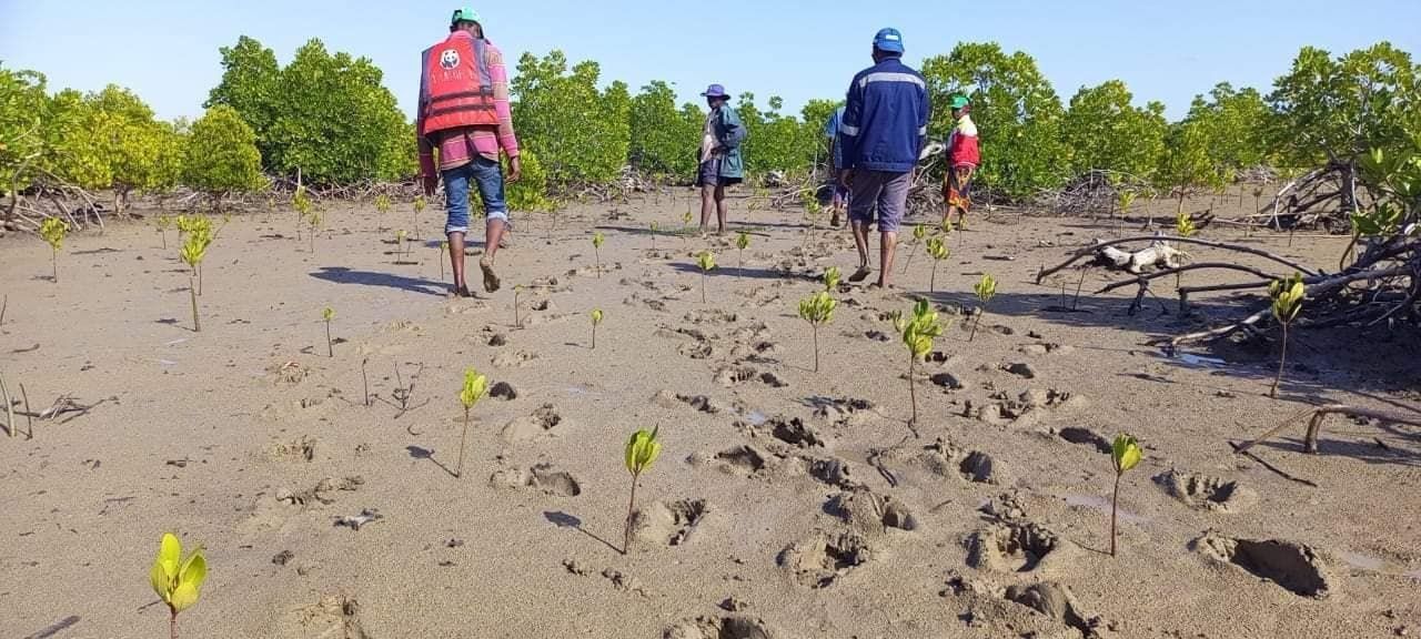
People
Maps made with the people who live with the land and sea, in their language and on their terms. Every project starts with free, prior and informed consent.
PALS brings mapping data, tools and technology to communities around the world, so they can manage their resources, protect their livelihoods and safeguard the ecosystems and wildlife they live alongside.
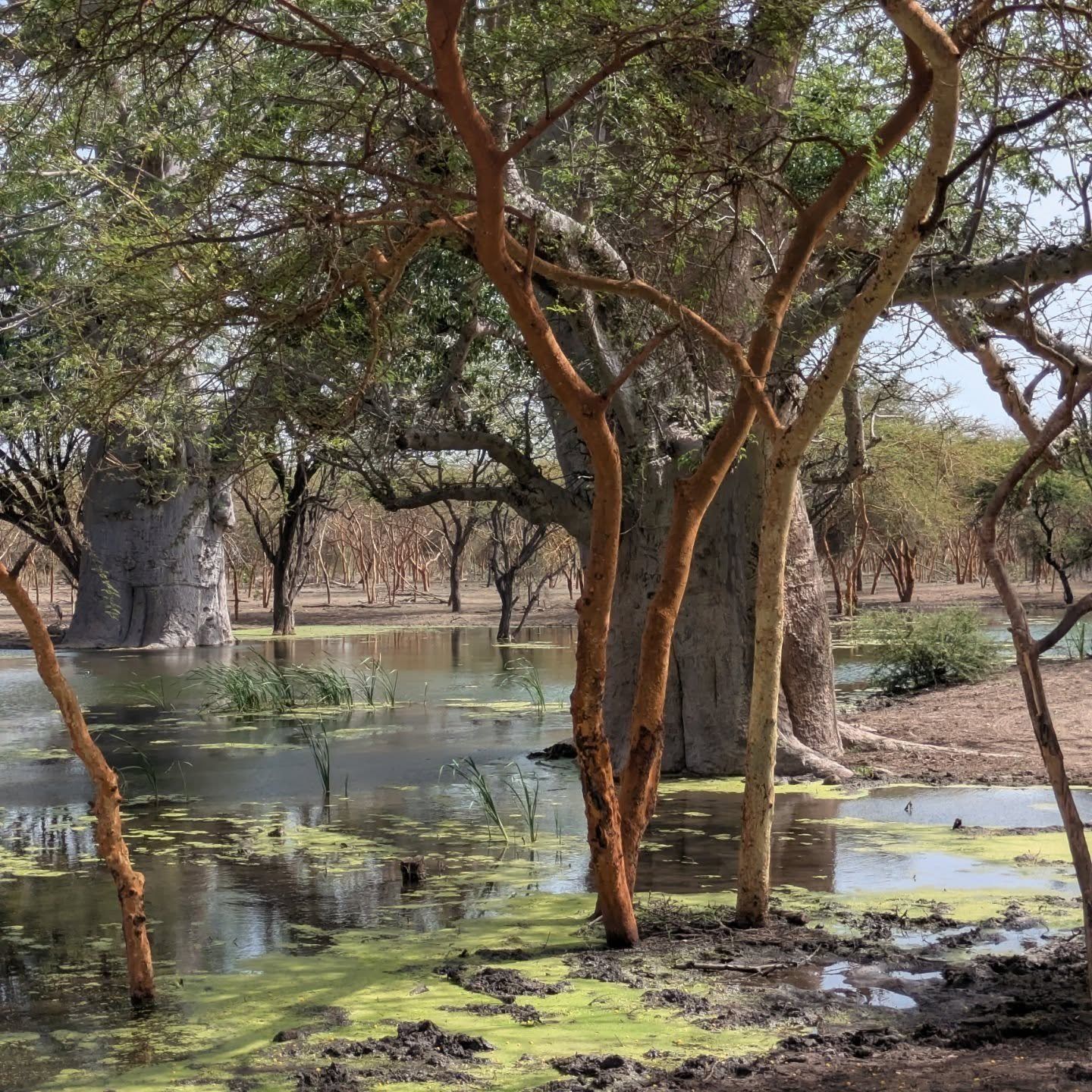
Land meets water
Four letters, locked together like the pieces of our logo. People who know a place. Animals that depend on it. Land and sea that hold it all. Take one away and the picture falls apart.
What PALS stands for
Maps made with the people who live with the land and sea, in their language and on their terms. Every project starts with free, prior and informed consent.
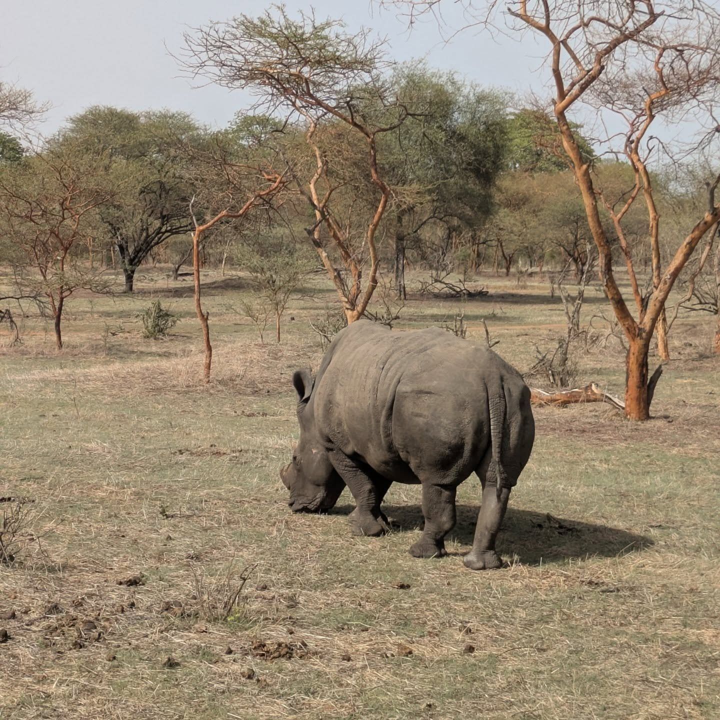
Habitat maps, biodiversity surveys and invasive-species monitoring, so the places wildlife depends on are known, counted and defended.
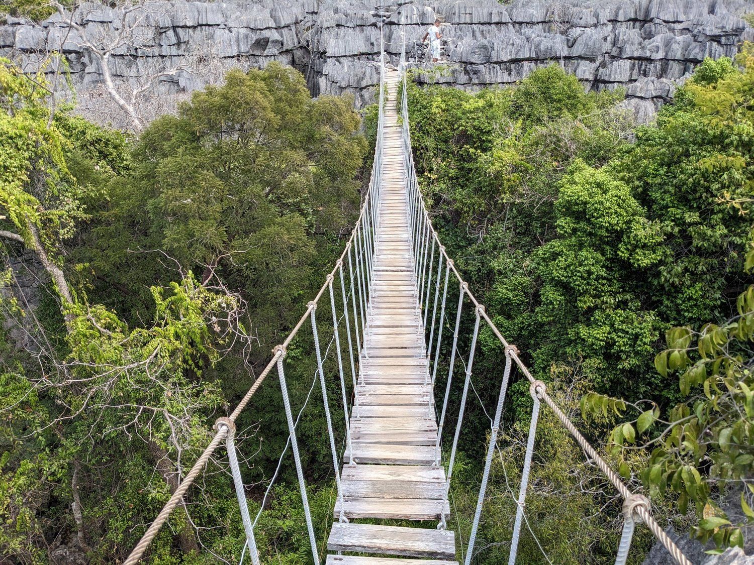
Protected areas, fire preparedness and smallholder farming: geospatial data that is current, accessible and useful to the people who manage the land.
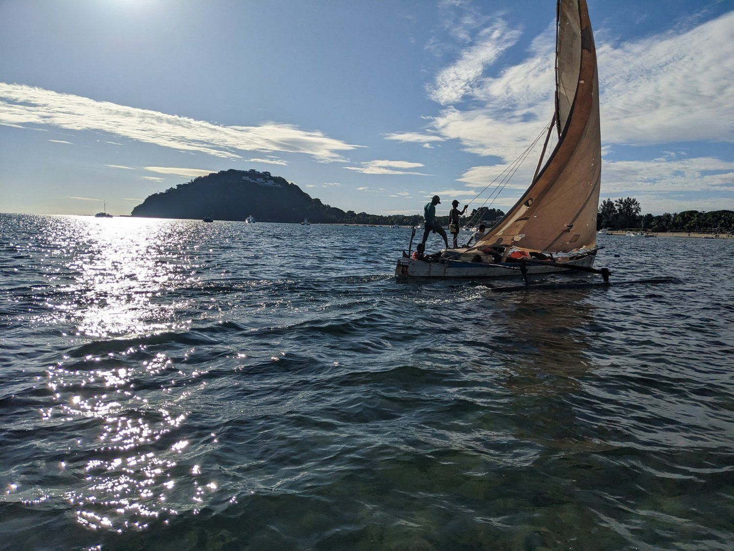
Coastal ecosystems first. Mangroves protect shorelines, store carbon and feed families, and they change faster than global maps can follow.
Our work
Every project sits under one of three pillars, and every one is guided by internationally recognised principles for digital development and consent.
Current projects
Where we work
We work at the scale of a bay, a coastline or a single island, with partners who know it best. Scroll to travel between the projects.
Coastal ecosystem management
Ilaje, Nigeria · 6° N 5° E
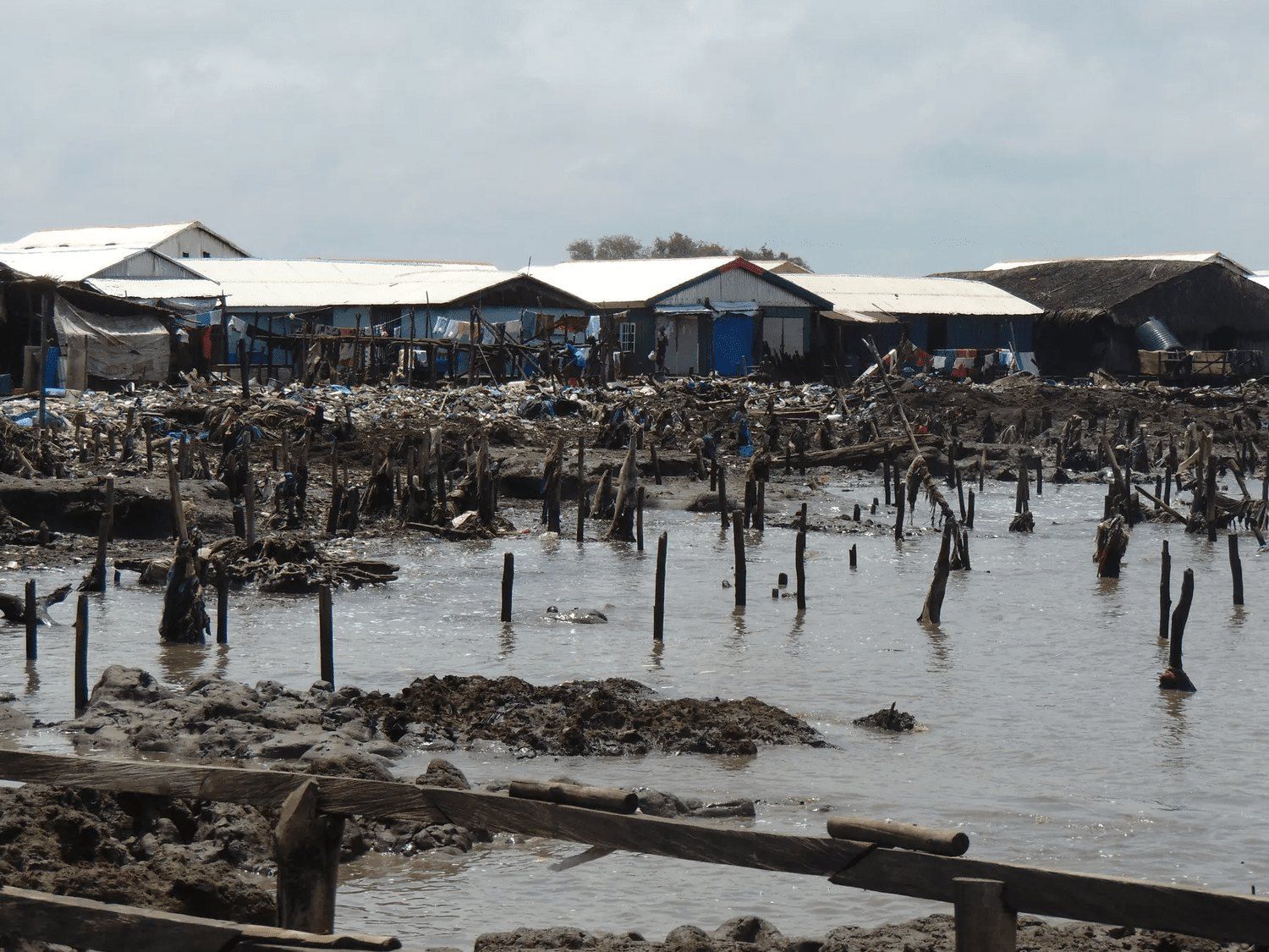
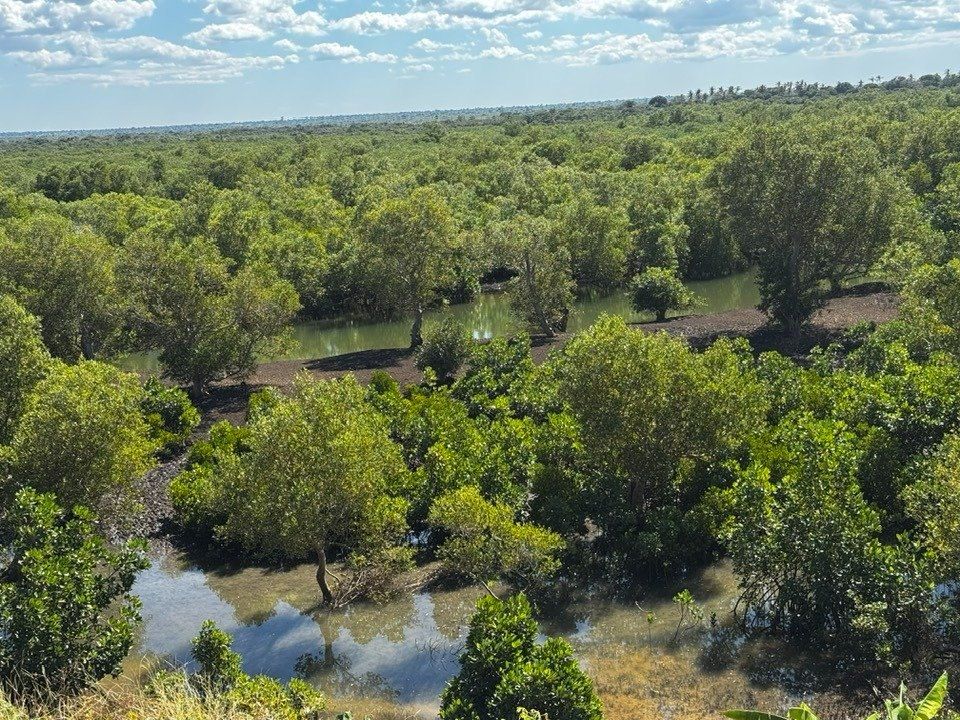
Mangrove loss from rising seas is costing livelihoods and moving whole communities in Ilaje, southwest Nigeria. We support a UBC Master of Sustainable Forest Management student from Ilaje to produce the mangrove maps that will guide local management and restoration.
Mapping and monitoring locally significant areas
Cable Bay, British Columbia · 49° N 124° W
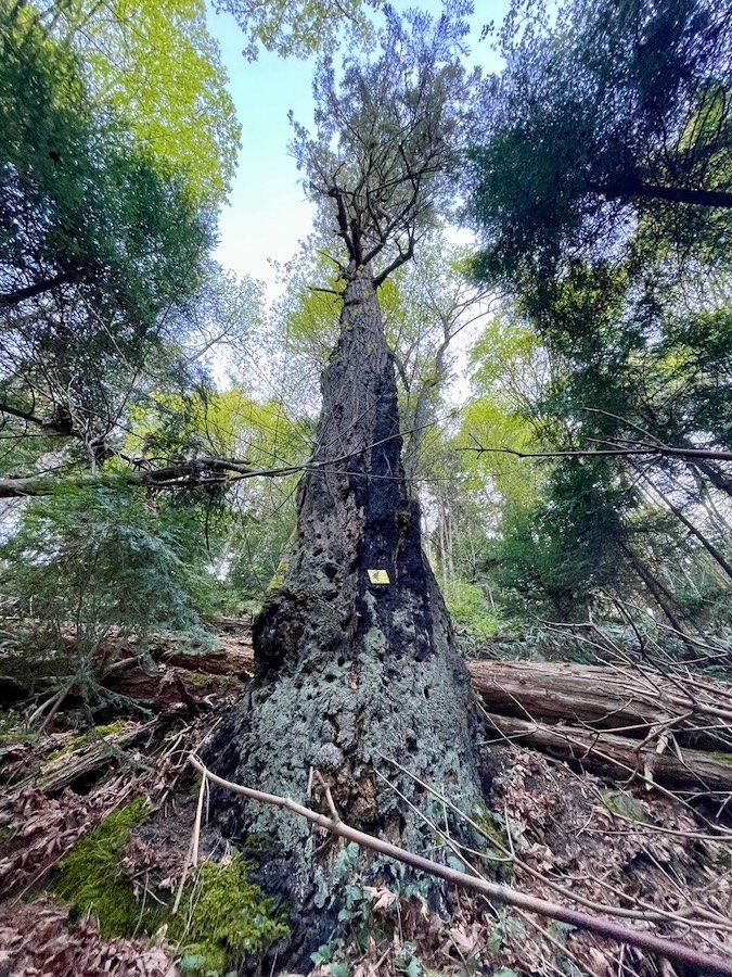
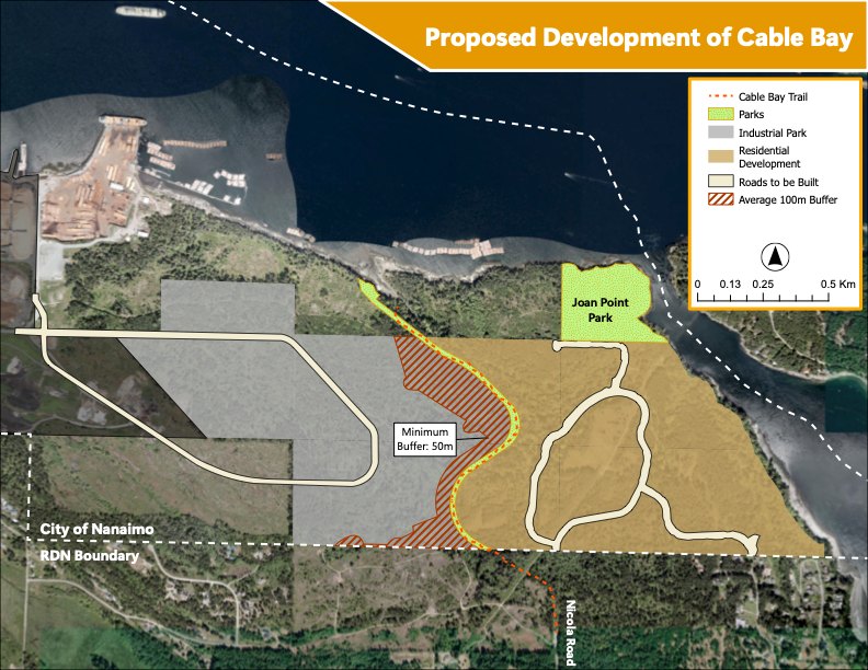
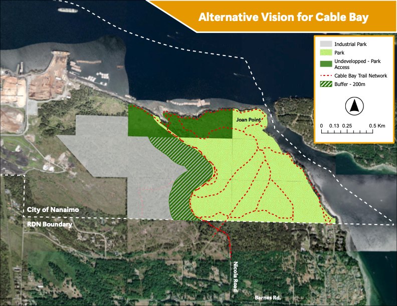
South of Nanaimo, the Cable Bay trail runs through forest, shore and sea that face proposed housing and industrial development. With savecablebay.org and UBC Master of Geomatics students we map what the plans would change, and the alternatives, including a bigger public park.
Coastal ecosystem management
First and Second Islands, Mozambique · 17° S 40° E
Mangroves give these island communities their timber. We support CIBIO Biopolis in mapping how the mangroves have changed, setting the maps beside what residents have seen for themselves, and building ecological literacy together.
Local disaster preparedness and response
Mudge Island, British Columbia · 49° N 124° W
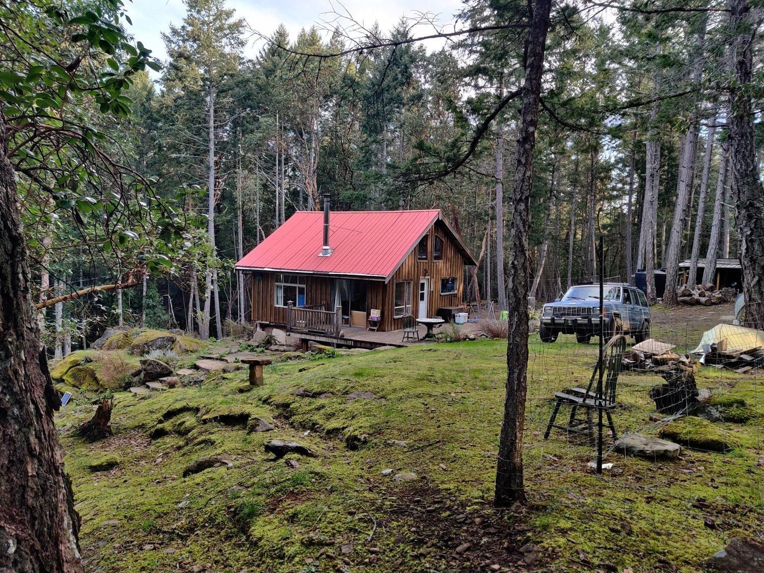
Mudge Island Citizen's Society keeps fire prevention, firefighting kit and emergency services going for a small island community. With UBC MGEM students we are building their digital map for fire preparedness and response.
Field notebook
A biodiversity assessment starts with looking closely. Some of the neighbours recorded on the shore and in the forest.
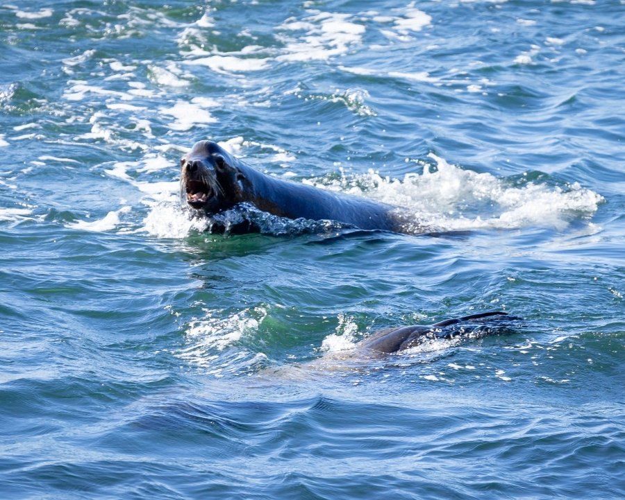
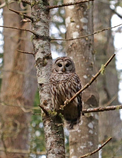
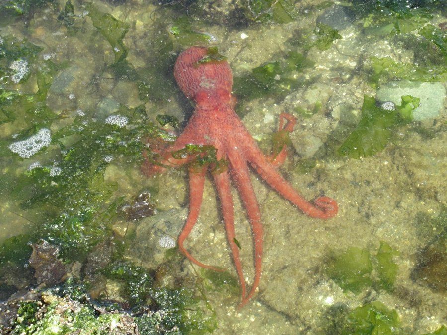
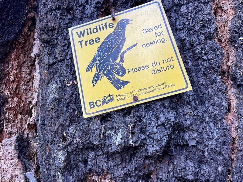
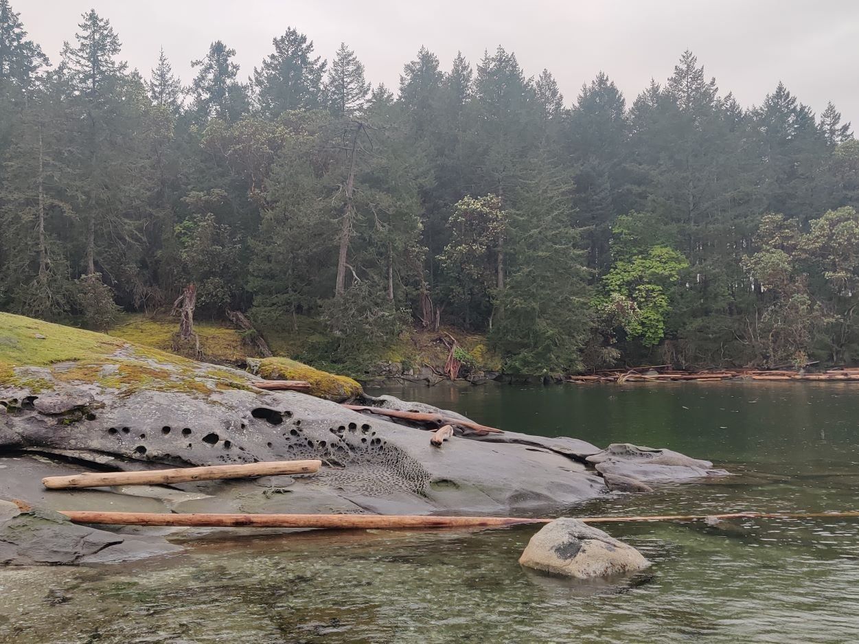
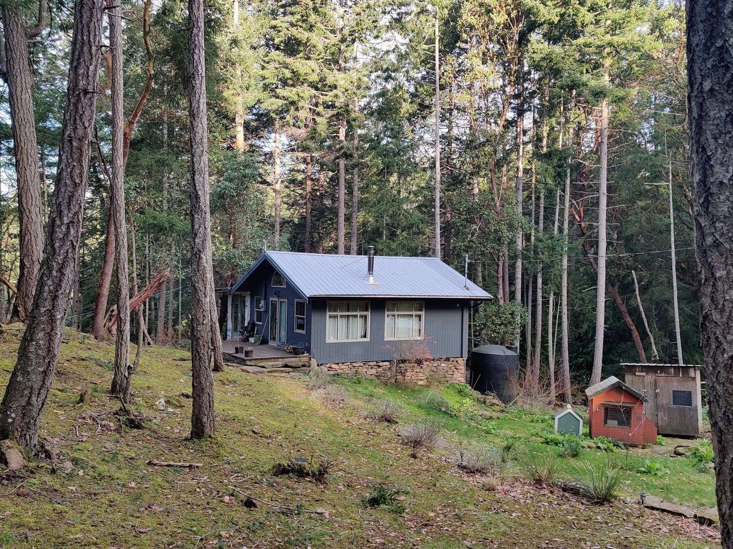
Mapping in practice · Cable Bay
Drag across the map to compare the proposed development of Cable Bay with the alternative layout mapped for the Save Cable Bay initiative.
How we work
We follow the DIAL principles for sustainable, inclusive digital development: tools built with their users, open where possible and designed to outlive the project.
Communities decide whether, how and what we map. Sensitive places and people are never published at exact locations.
We are all PALS
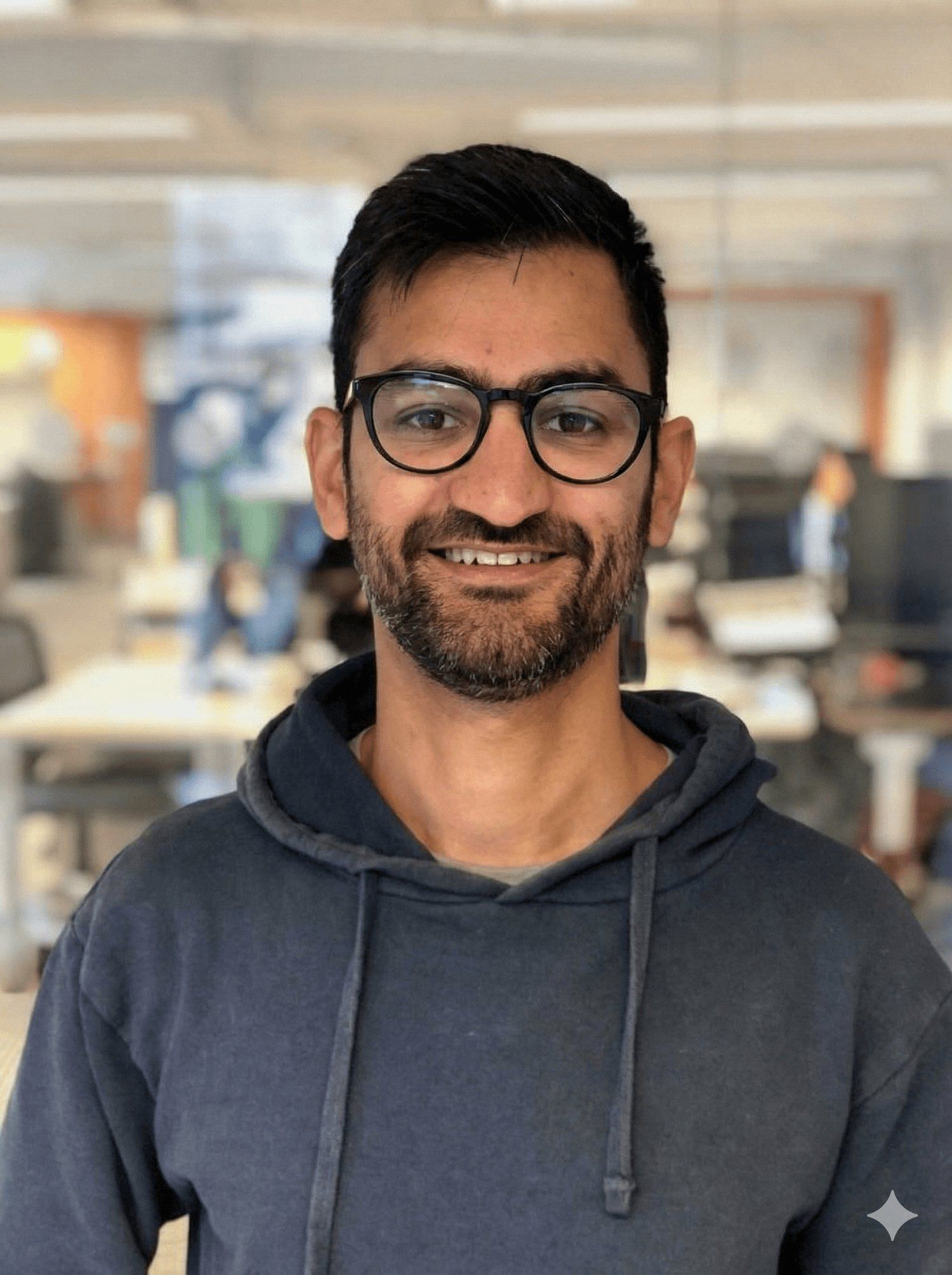
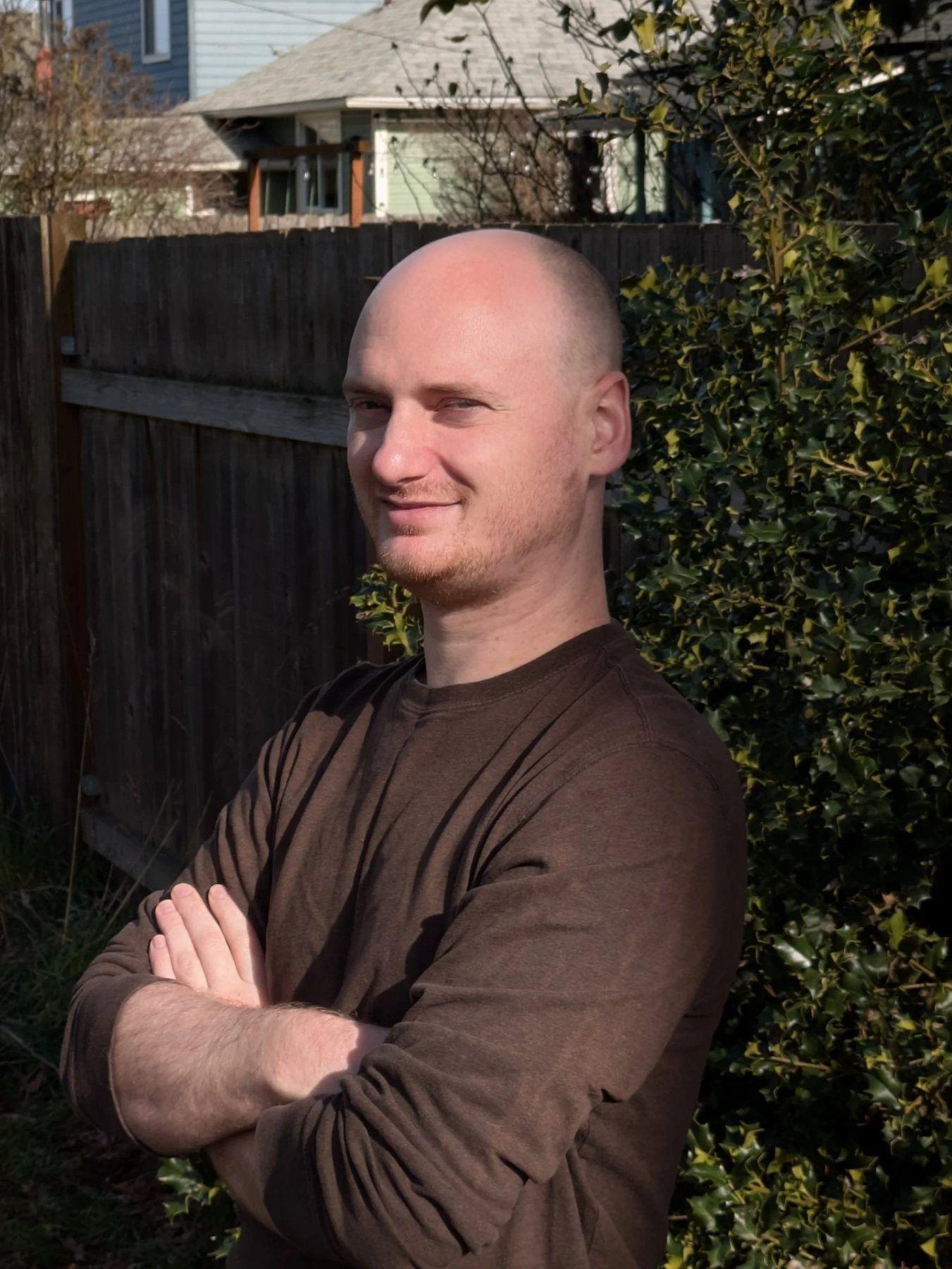
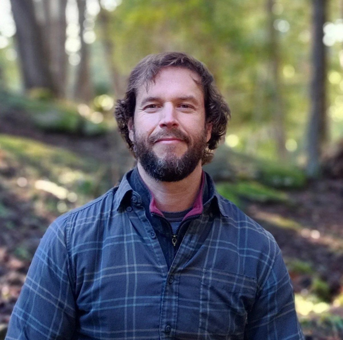
Geographers, coders and scientists with field experience across more than 20 countries.
Cofounder · Master mapper
Cofounder · Travelling coder
Advisor · Cofounder
Let's be PALS
Need PALS?
If your community, reserve or project needs maps it can trust and use, we would like to hear from you.