Our work follows the DIAL principles for sustainable, inclusive digital development and is guided by free, prior and informed consent. It is organised under three pillars: coastal ecosystem management, mapping and monitoring locally significant areas, and local disaster preparedness and response.
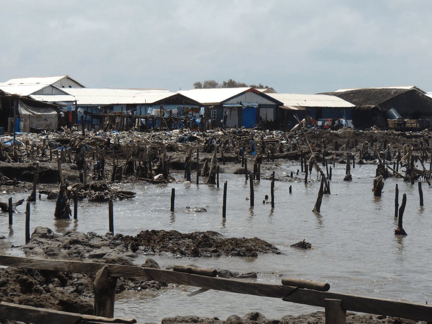
Mangrove loss from rising seas is costing livelihoods and moving whole communities in Ilaje, southwest Nigeria. We support a UBC Master of Sustainable Forest Management student from Ilaje to produce the mangrove maps that will guide local management and restoration.
Shoreline loss, IlajeIlaje, Ondo State
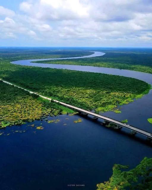
The Alape river from the airPhoto Victor Zaviano
Cable Bay, British Columbia · 49° N 124° W
Supporting the Save Cable Bay initiative
Pillar
Mapping and monitoring locally significant areas
Focus area
Supporting protected areas
Partners
Save Cable Bay · UBC MGEM students
49° N 124° W
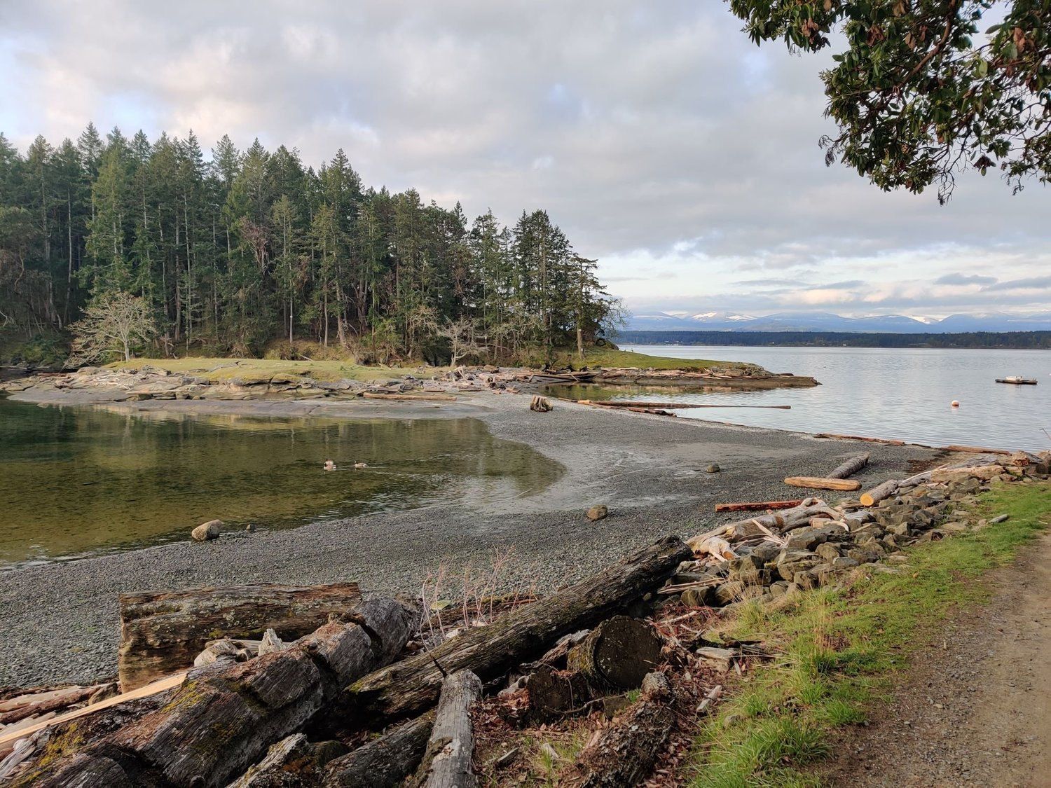
South of Nanaimo, the Cable Bay trail runs through forest, shore and sea that face proposed housing and industrial development. With savecablebay.org and UBC Master of Geomatics students we map what the plans would change, and the alternatives, including a bigger public park.
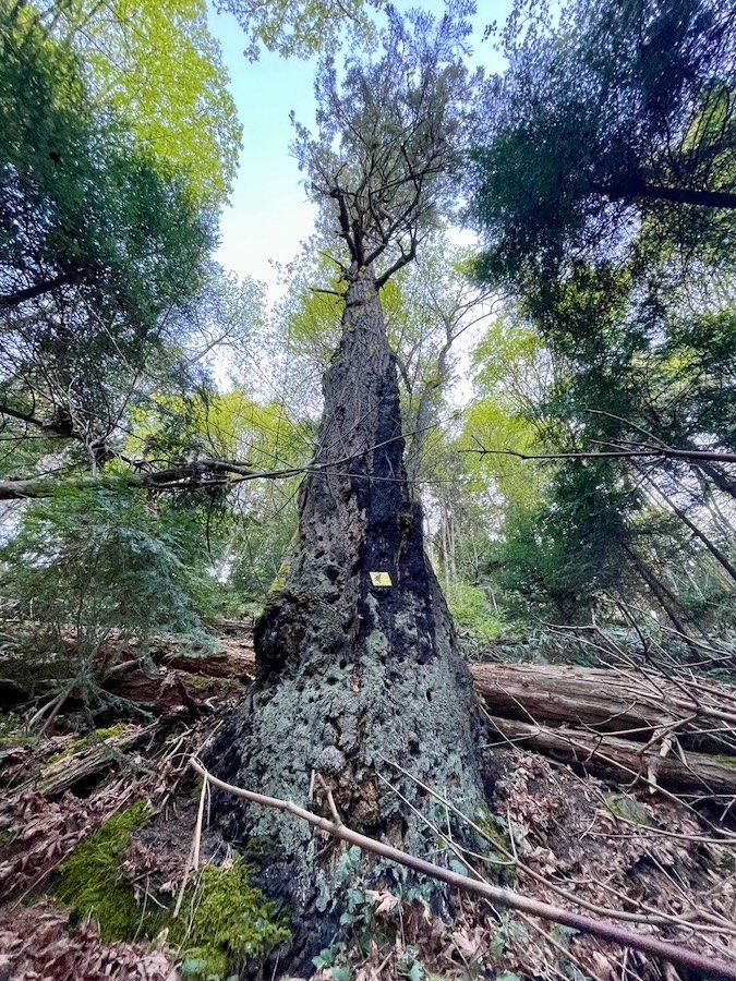
Old fire scars in the Cable Bay forestNanaimo, BC
Save Cable Bay, the campaignsavecablebay.org
Cable Bay, British Columbia · 49° N 124° W
Cable Bay biodiversity assessment
Pillar
Mapping and monitoring locally significant areas
Focus area
Supporting biodiversity assessments
Partners
Save Cable Bay · UBC MGEM students
49° N 124° W
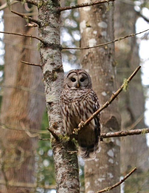
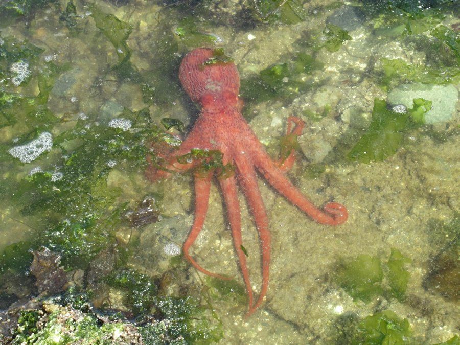
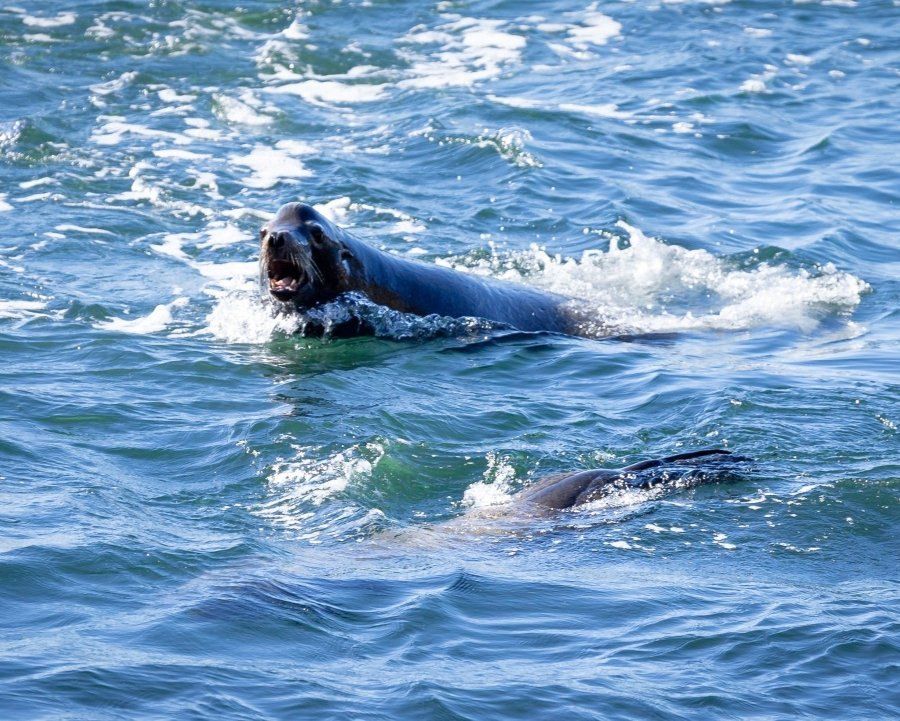
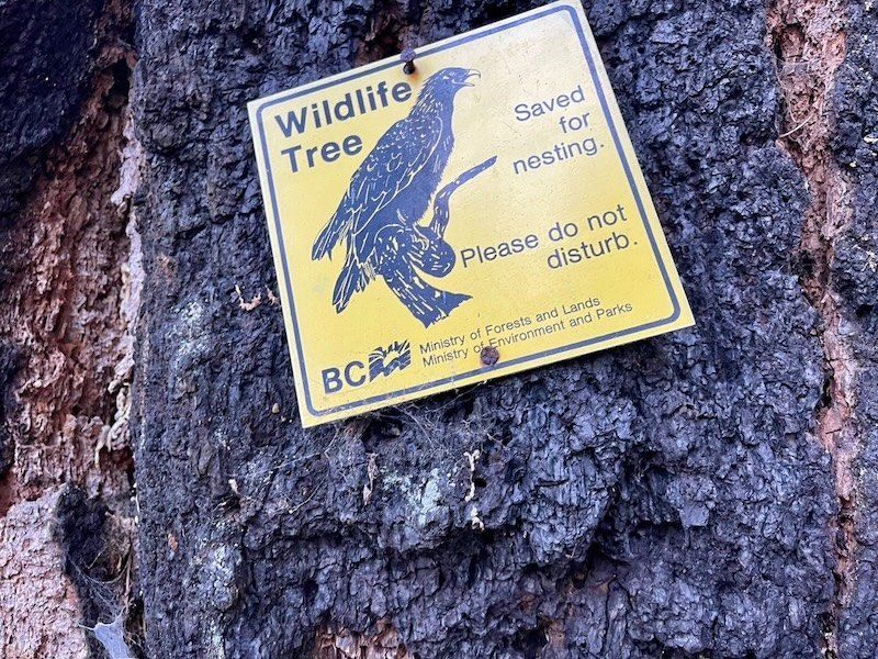
Alongside the planning maps, we help UBC MGEM students go further in recording the biodiversity of the Cable Bay area, from wildlife trees to the shore.
Barred owlCable Bay, BC
Giant Pacific octopusCable Bay, BC
Harbour sealCable Bay, BC
A saved wildlife treeCable Bay, BC
First and Second Islands, Mozambique · 17° S 40° E
Community ecological literacy in Mozambique
Pillar
Coastal ecosystem management
Focus area
Mangrove ecosystem monitoring
Partners
CIBIO Biopolis
17° S 40° E
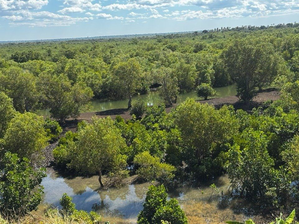
Mangroves give these island communities their timber. We support CIBIO Biopolis in mapping how the mangroves have changed, setting the maps beside what residents have seen for themselves, and building ecological literacy together.
Mangrove and wetland mosaicPhoto Ambiente Serviços Lda
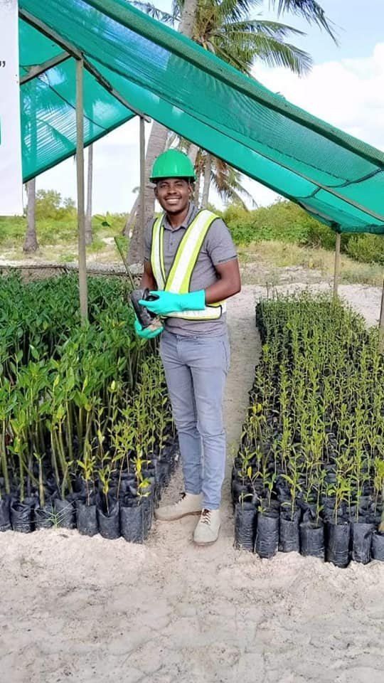
Recording seedlings in the nurseryPhoto Ambiente Serviços Lda
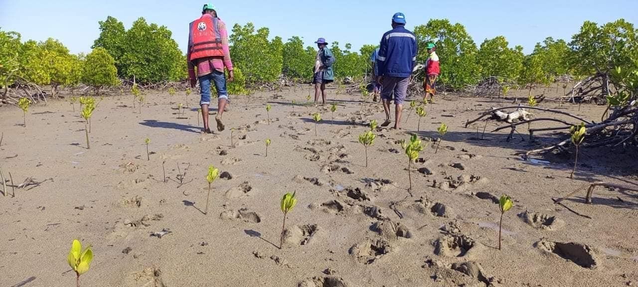
Walking the restoration sitePhoto Ambiente Serviços Lda
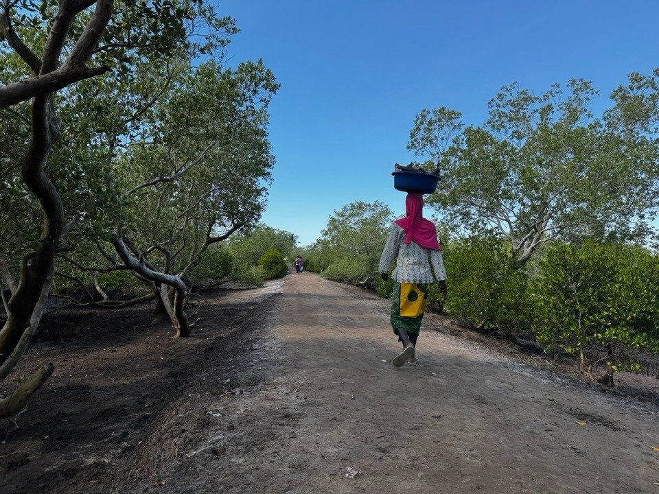
The road homePhoto Ambiente Serviços Lda
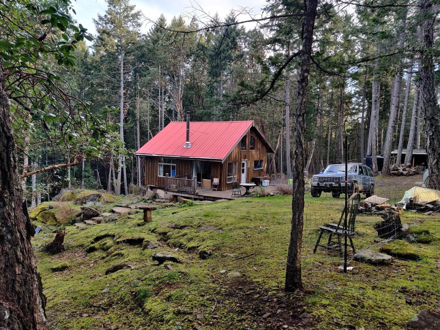
Mudge Island, British Columbia · 49° N 124° W
Fire preparedness with Mudge Island
Pillar
Local disaster preparedness and response
Focus area
Fire preparedness and response
Partners
Mudge Island Citizen's Society · UBC MGEM students
49° N 124° W
Mudge Island Citizen's Society keeps fire prevention, firefighting kit and emergency services going for a small island community. With UBC MGEM students we are building their digital map for fire preparedness and response.